A Geomatic Engineer is responsible for utilizing advanced technologies to collect, analyze, and interpret spatial data. Successful Geomatic Engineer Resume emphasize the following duties – designing and implementing survey plans, using tools such as GPS and satellite imagery to gather geographical information, creating accurate maps and models; and using advanced technologies to interpret spatial data. Geomatic Engineers play a vital role in various industries, including urban planning, environmental management, and infrastructure development. These professionals play a crucial role in contributing effectively to projects and ensuring the precision of spatial data.
Those looking to work as a Geomatic Engineer should demonstrate throughout their resume such skills as – strong analytical skills, proficiency in using geospatial software, staying current with technological advancements in surveying and mapping tools, and precision. A bachelor’s degree in geomatics engineering, surveying, or a related field is typically required, and additional certifications may enhance qualifications.
Objective : Innovative Geomatic Engineer with 2 years of experience in utilizing advanced surveying techniques and geospatial technologies to enhance project outcomes. Proficient in GIS applications and remote sensing for comprehensive data analysis, contributing to infrastructure development and environmental assessments. Committed to delivering precise results while collaborating effectively with multidisciplinary teams.
Skills : Geographic Information Systems (gis) And Analysis, Gis Analysis, Data Visualization, 3d Modeling
Description :
Executed topographic and cadastral surveys to support land development projects.
Utilized GIS tools to analyze spatial data and create detailed maps for various applications.
Collaborated with engineers and planners to integrate geospatial data into project designs.
Conducted site assessments for environmental impact evaluations and hazard identification.
Designed a geodetic control network to enhance survey precision across multiple projects.
Managed hydrographic surveys for coastal engineering initiatives, ensuring data accuracy.
Supported the creation and maintenance of cadastral maps and land records.
Experience
0-2 Years
Level
Entry Level
Education
BSc GE
Junior Geomatic Engineer Resume
Objective : Dynamic Geomatic Engineer with 2 years of hands-on experience in surveying and geospatial analysis. Skilled in utilizing GIS software and advanced data collection techniques to support infrastructure projects and environmental studies. Eager to apply innovative solutions and collaborate with diverse teams to drive project success and enhance data accuracy.
Skills : Advanced Surveying Techniques, Field Data Collection, Mapping Software, Coordinate Systems, Terrain Analysis
Description :
Executed comprehensive surveys employing GPS and total stations to ensure precise data collection.
Produced detailed maps and models through geographic data analysis, enhancing project deliverables.
Supervised field teams to maintain high standards of data accuracy and compliance with project timelines.
Formulated survey methodologies tailored to specific project objectives and requirements.
Utilized GIS and CAD software for effective data processing and visualization.
Conducted quality assurance checks on survey outputs to uphold data integrity.
Collaborated with engineering teams to integrate geospatial data into design workflows.
Experience
0-2 Years
Level
Junior
Education
BSc Geomatics
Geomatic Engineer Resume
Headline : Accomplished Geomatic Engineer with 7 years of experience in advanced geospatial analysis and surveying techniques. Expertise in GIS and remote sensing to support urban planning, environmental projects, and infrastructure development. Seeking to leverage technical skills and collaborative approach to drive impactful solutions in geospatial engineering.
Skills : Geospatial Data Analysis, Time Management, Presentation Skills, Client Communication, Field Equipment Operation, Data Processing
Description :
Conducted detailed geospatial analysis for urban planning and environmental management projects.
Utilized GIS software to create and maintain spatial databases for infrastructure development.
Performed advanced geodetic surveying to establish precise boundary lines and coordinates.
Collaborated with multidisciplinary teams to integrate geospatial data into engineering designs.
Led environmental impact assessments using remote sensing and GIS methodologies.
Provided technical expertise in the application of LiDAR technology for terrain modeling.
Trained junior engineers in modern surveying techniques and software applications.
Experience
5-7 Years
Level
Senior
Education
BSc Geomatics
Geomatic Engineer III Resume
Objective : Dedicated Geomatic Engineer with 5 years of experience specializing in advanced geospatial analysis and surveying techniques. Proficient in leveraging GIS and remote sensing technologies to drive project efficiency and accuracy. Passionate about integrating innovative solutions in multidisciplinary environments to optimize infrastructure development and resource management.
Skills : Environmental Modeling, Urban Planning, Geospatial Programming, Data Interpretation, Geostatistics, Land Surveying
Description :
Conducted comprehensive geospatial analysis to support urban planning and infrastructure development projects.
Provided technical input in the selection and procurement of advanced survey equipment and technologies.
Researched and implemented advancements in geomatics technology to enhance project outcomes.
Delivered technical guidance and training to junior staff and field crews, fostering professional growth.
Collaborated within interdisciplinary teams to solve complex engineering challenges effectively.
Executed detailed surveys for infrastructure projects including roads, bridges, and pipelines.
Performed topographic surveys to assist in engineering design and construction projects.
Experience
2-5 Years
Level
Consultant
Education
BSc Geomatic Eng.
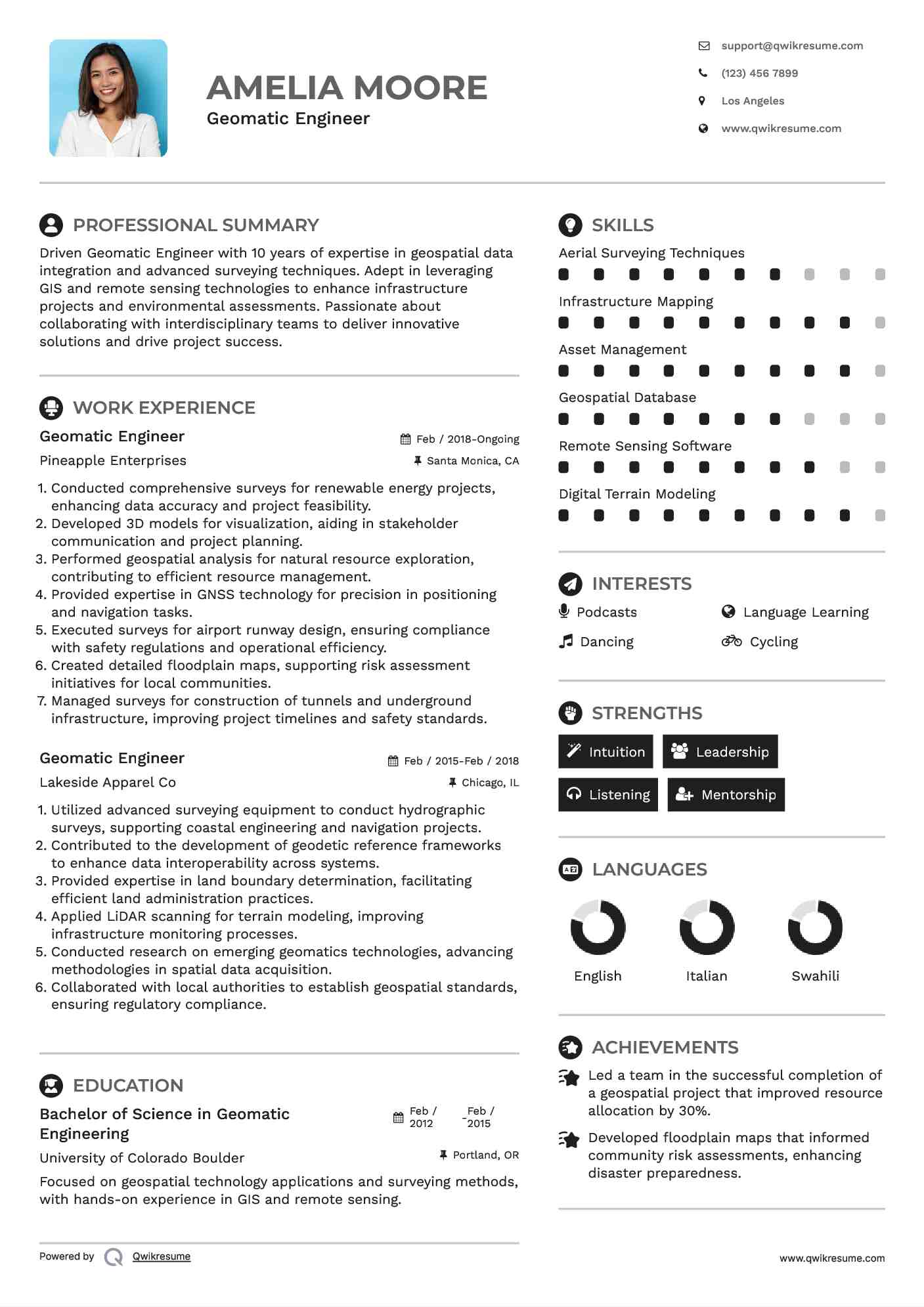
Geomatic Engineer Resume
Summary : Driven Geomatic Engineer with 10 years of expertise in geospatial data integration and advanced surveying techniques. Adept in leveraging GIS and remote sensing technologies to enhance infrastructure projects and environmental assessments. Passionate about collaborating with interdisciplinary teams to deliver innovative solutions and drive project success.
Conducted comprehensive surveys for renewable energy projects, enhancing data accuracy and project feasibility.
Developed 3D models for visualization, aiding in stakeholder communication and project planning.
Performed geospatial analysis for natural resource exploration, contributing to efficient resource management.
Provided expertise in GNSS technology for precision in positioning and navigation tasks.
Executed surveys for airport runway design, ensuring compliance with safety regulations and operational efficiency.
Created detailed floodplain maps, supporting risk assessment initiatives for local communities.
Managed surveys for construction of tunnels and underground infrastructure, improving project timelines and safety standards.
Experience
7-10 Years
Level
Management
Education
BSc Geomatic Eng.
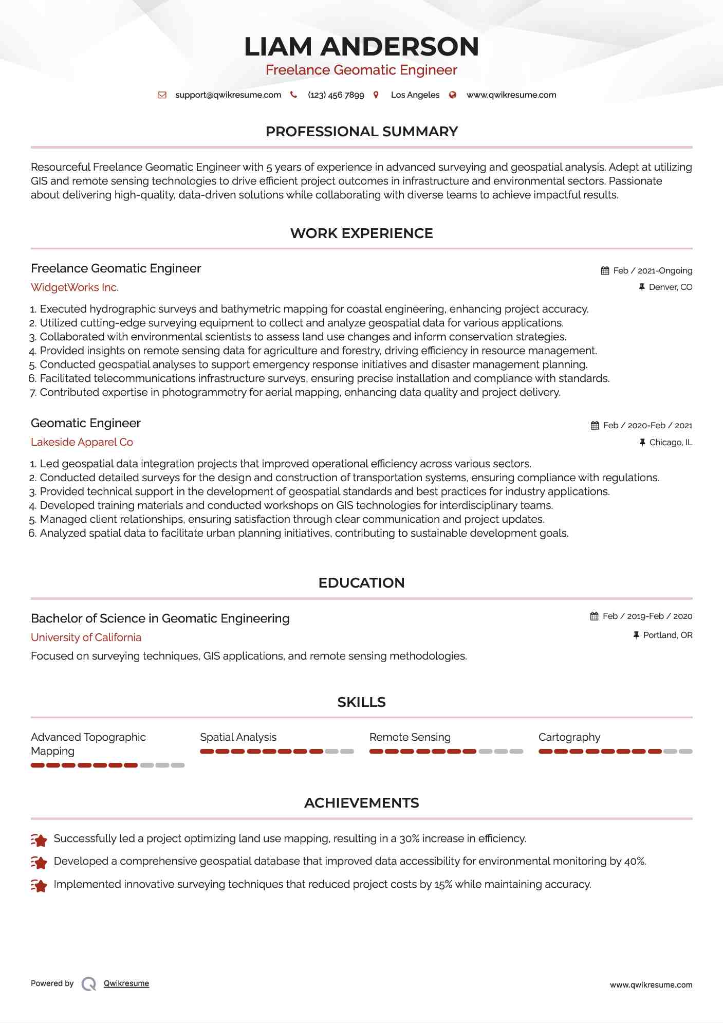
Freelance Geomatic Engineer Resume
Objective : Resourceful Freelance Geomatic Engineer with 5 years of experience in advanced surveying and geospatial analysis. Adept at utilizing GIS and remote sensing technologies to drive efficient project outcomes in infrastructure and environmental sectors. Passionate about delivering high-quality, data-driven solutions while collaborating with diverse teams to achieve impactful results.
Executed hydrographic surveys and bathymetric mapping for coastal engineering, enhancing project accuracy.
Utilized cutting-edge surveying equipment to collect and analyze geospatial data for various applications.
Collaborated with environmental scientists to assess land use changes and inform conservation strategies.
Provided insights on remote sensing data for agriculture and forestry, driving efficiency in resource management.
Conducted geospatial analyses to support emergency response initiatives and disaster management planning.
Facilitated telecommunications infrastructure surveys, ensuring precise installation and compliance with standards.
Contributed expertise in photogrammetry for aerial mapping, enhancing data quality and project delivery.
Experience
2-5 Years
Level
Freelancer
Education
BSc Geomatic Eng.
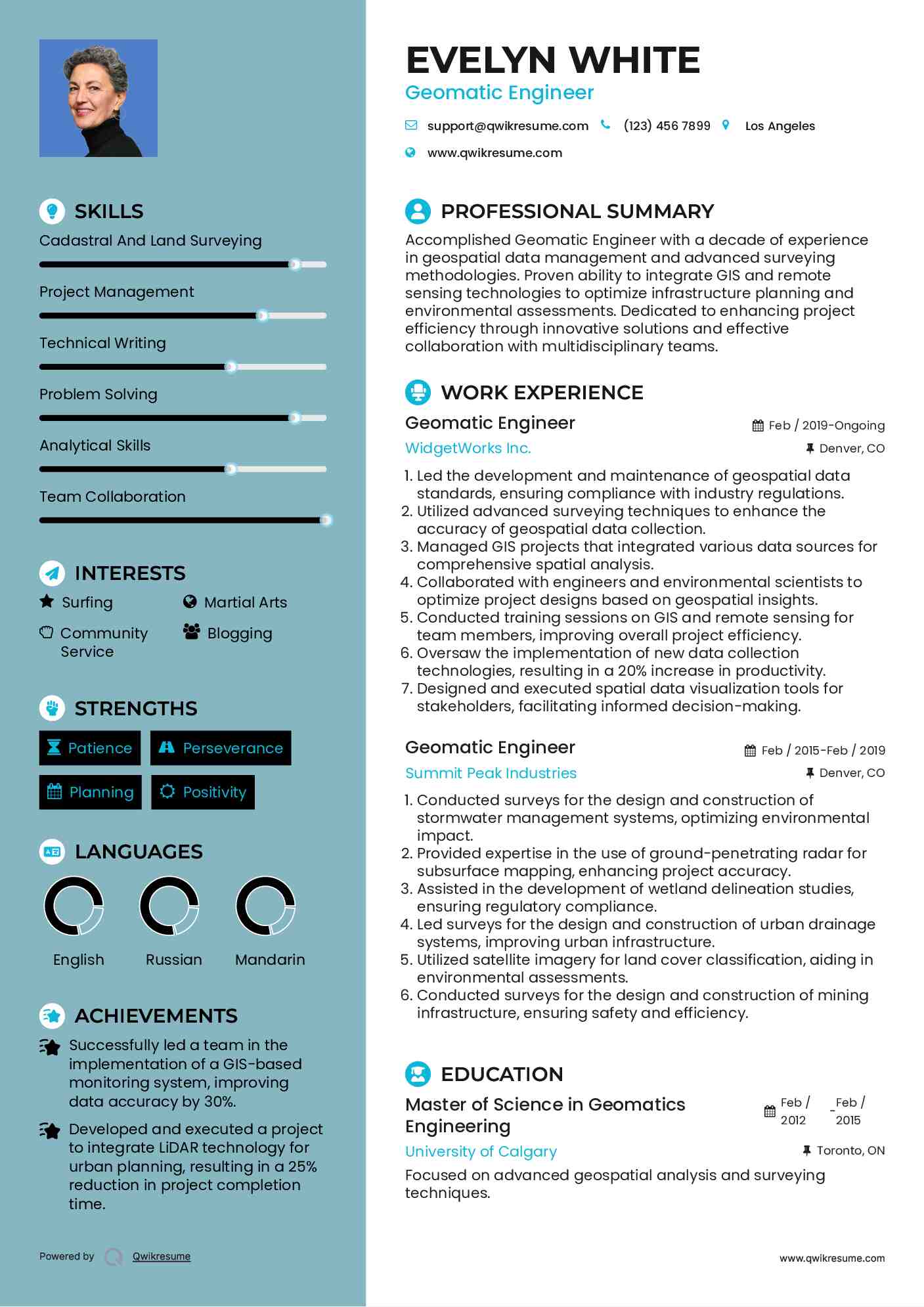
Geomatic Engineer Resume
Summary : Accomplished Geomatic Engineer with a decade of experience in geospatial data management and advanced surveying methodologies. Proven ability to integrate GIS and remote sensing technologies to optimize infrastructure planning and environmental assessments. Dedicated to enhancing project efficiency through innovative solutions and effective collaboration with multidisciplinary teams.
Skills : Cadastral And Land Surveying, Project Management, Technical Writing, Problem Solving, Analytical Skills, Team Collaboration
Description :
Led the development and maintenance of geospatial data standards, ensuring compliance with industry regulations.
Utilized advanced surveying techniques to enhance the accuracy of geospatial data collection.
Managed GIS projects that integrated various data sources for comprehensive spatial analysis.
Collaborated with engineers and environmental scientists to optimize project designs based on geospatial insights.
Conducted training sessions on GIS and remote sensing for team members, improving overall project efficiency.
Oversaw the implementation of new data collection technologies, resulting in a 20% increase in productivity.
Designed and executed spatial data visualization tools for stakeholders, facilitating informed decision-making.
Experience
10+ Years
Level
Executive
Education
MSc Geomatics
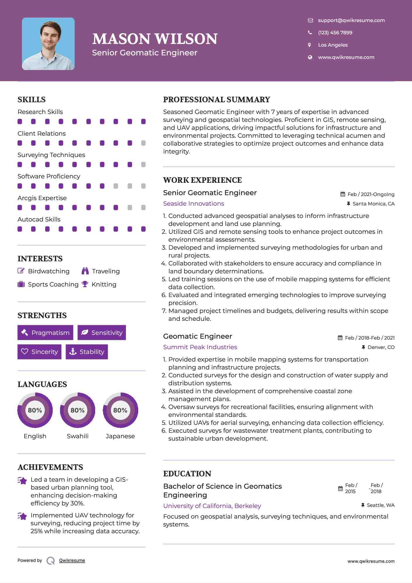
Senior Geomatic Engineer Resume
Headline : Seasoned Geomatic Engineer with 7 years of expertise in advanced surveying and geospatial technologies. Proficient in GIS, remote sensing, and UAV applications, driving impactful solutions for infrastructure and environmental projects. Committed to leveraging technical acumen and collaborative strategies to optimize project outcomes and enhance data integrity.
Conducted advanced geospatial analyses to inform infrastructure development and land use planning.
Utilized GIS and remote sensing tools to enhance project outcomes in environmental assessments.
Developed and implemented surveying methodologies for urban and rural projects.
Collaborated with stakeholders to ensure accuracy and compliance in land boundary determinations.
Led training sessions on the use of mobile mapping systems for efficient data collection.
Evaluated and integrated emerging technologies to improve surveying precision.
Managed project timelines and budgets, delivering results within scope and schedule.
Experience
5-7 Years
Level
Senior
Education
BSc Geomatics
Geomatic Engineer Resume
Objective : Enthusiastic Geomatic Engineer with 2 years of experience specializing in geospatial data analysis and surveying. Proficient in utilizing GIS technologies and advanced surveying tools for infrastructure projects and environmental assessments. Adept at collaborating with cross-functional teams to deliver precise, actionable insights that enhance project outcomes.
Skills : Digital Terrain Models, Site Assessment, Geographic Information Systems, Spatial Data Analysis, Map Design, Geospatial Analysis
Description :
Utilized advanced surveying techniques for data collection and analysis in various projects.
Collaborated with engineers and environmental scientists to support project development.
Implemented GIS technologies to visualize and interpret complex geospatial data.
Conducted site assessments to determine feasibility for new infrastructure projects.
Analyzed remote sensing data to inform environmental impact assessments.
Provided technical support for surveying equipment and software.
Facilitated training sessions on GIS applications for team members.
Experience
0-2 Years
Level
Entry Level
Education
BSc Geomatics
Geomatic Engineer Resume
Summary : Accomplished Geomatic Engineer with 10 years of diverse experience in geospatial data analysis, advanced surveying methodologies, and project management. Expert in leveraging GIS and remote sensing technologies to drive innovative solutions for infrastructure development and environmental sustainability. Committed to enhancing project outcomes through precision, collaboration, and effective data visualization.
Skills : Geospatial Analysis Techniques, Gps Technology, Survey Data Processing, Geospatial Technologies, Land Information Systems
Description :
Conduct land surveys using GPS, total stations, and GIS technology.
Developed innovative surveying techniques that improved data accuracy and project outcomes.
Collaborated with multidisciplinary teams to integrate geospatial data into environmental assessments.
Led projects on renewable energy transmission lines, ensuring compliance with regulatory standards.
Utilized GIS technologies for effective site selection and feasibility studies.
Provided expert guidance on wildlife crossing designs, enhancing ecological connectivity.
Managed data visualization efforts to communicate complex geospatial information clearly.
Creating an account is free and takes five seconds.
You'll get access to the PDF version of this resume template.
Choose an option.
Sign up with Google
Sign up with Facebook
Sign up with Linkedin
This helps us make sure you're human and prevents spammers from abusing our services.
By continuing, you agree to our Privacy Policy and Terms.
Unlock the Power of Over 10,000 Resume Samples.
Take your job search to the next level with our extensive collection of 10,000+ resume samples. Find inspiration for your own resume and gain a competitive edge in your job search.
Get Hired Faster with Resume Assistant.
Make your resume shine with our Resume Assistant. You'll receive a real-time score as you edit, helping you to optimize your skills, experience, and achievements for the role you want.
Get Noticed with Resume Templates that Beat the ATS.
Get past the resume screeners with ease using our optimized templates. Our professional designs are tailored to beat the ATS and help you land your dream job.